Places in Sardinia
 Cagliari
Oristano
Olbia
Sassari
Alghero
Villasimius
Pula
Porto Cervo
Orosei
Arbatax
Chia
Carloforte
Buggerru
Costa Rei
Cala Gonone
Fonni
Orroli
La Caletta
San Teodoro
Castelsardo
Santa Teresa Gallura
Bosa
Berchidda
Aritzo
Lanusei
Bari Sardo
Tertenia
Nuoro
Muravera
Barumini
Badesi
Santu Lussurgiu
Stintino
Porto Torres
Ozieri
Macomer
Senorbì
Villacidro
Porto Pino
Cagliari
Oristano
Olbia
Sassari
Alghero
Villasimius
Pula
Porto Cervo
Orosei
Arbatax
Chia
Carloforte
Buggerru
Costa Rei
Cala Gonone
Fonni
Orroli
La Caletta
San Teodoro
Castelsardo
Santa Teresa Gallura
Bosa
Berchidda
Aritzo
Lanusei
Bari Sardo
Tertenia
Nuoro
Muravera
Barumini
Badesi
Santu Lussurgiu
Stintino
Porto Torres
Ozieri
Macomer
Senorbì
Villacidro
Porto Pino
Places in Carbonia-Iglesias, Sardinia
This is the smallest of the Sardinian provinces, occupying the south-west corner of the island. Its territory is mostly flat and hilly with only a few mountains topping over 1,000 mt. In spite of its limited surface the coast develops for almost 200 km.This is because of its rugged edge and because of the two islands of San Pietro and Sant'Antioco, the latter being the largest satellite island in Sardinia. You can get to Sant'Antioco through a short bridge connecting it to the mainland and from there you can take the ferry to the island of San Pietro.
Here the main city is Carloforte, a picturesque fishermen port. Carloforte is also known for the fishing of tuna (the mattanza) and for the fact that its inhabitants speak a particular language, very similar to the dialect spoken in Genoa.
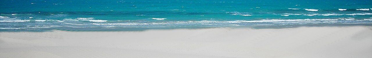
In both islands, there are a lot of small beaches and coves (called cala) and plenty of places where to have a meal. Back in the mainland, the beaches of Porto Pino in the south of the province and Cala Domestica just before Buggerru in the north are beautiful and deserve a visit.
Above all, this province is particularly known for its mines of coal, zinc, lead and silver which are now almost entirely dismissed. Entire villages have been built in the past near these mines scattered throughout the whole territory of Sulcis-Iglesiente.
They are now abandoned but fully accessible for a visit and great places to take some picturesque snapshot. Worth a go is the Laveria Lamarmora near Nebida. Here the metals were 'washed' to eliminate impurities.
The building is in fact by the sea, hanging on a cliff, since water was a key element of the process. From there, move towards Masua less than 3 km away and turn left towards the old mine, already visible from the road.
Enjoy the amazing view of Pan di Zucchero, a huge rock with high cliffs emerging straight from the sea, and take advantage of the two tiny beaches that you find passed the mine. From here you walk to Porto Flavia, at the entrance of the mine.
Guided tours will take you inside the mountain for a short walk. When you come out, you will find yourself right in front of the Pan di Zucchero, some 30 metres above the sea. This small trip will only take you a few hours and if you choose the afternoon you will most probably enjoy a superb sunset.
This is Iglesiente, a region where its twisty roads do not encourage the discovery of its territory but where each effort is paid off with views of rare beauty.
Places near Carbonia-Iglesias
- 7 km Villamassargia 257
- 8 km Iglesias 420
- 9 km Gonnesa 498
- 10 km Carbonia 147
- 10 km Perdaxius 128
- 10 km Musei 66
- 10 km Domusnovas 233
- 13 km Narcao 32
- 13 km Nebida 402
- 15 km Masua 392
Points of interest near Carbonia-Iglesias Add
Hospitals
- 7 km Presidio Ospedaliero CTO 432
- 8 km Presidio Ospedaliero Santa Barbara 430
- 9 km Presidio Ospedaliero Fratelli Crobu 416
- 10 km Presidio Ospedaliero Sirai 249
Stations
- 7 km Barbusi 195
- 7 km Iglesias 428
- 8 km Villamassargia-Domusnovas 250
- 10 km Carbonia Stato 159
- 11 km Carbonia Serbariu 160
Museums and Libraries
- 8 km Museo Mineralogico Sardo 423
- 10 km Museo Civico di Paleontologia e Speleologia Edouard Alfred Martel 150
- 10 km Museo Archeologico Villa Sulcis 149
- 11 km Esposizione Etnografica Sotgiu 134
Monuments
- 8 km Castello Salvaterra 427
- 10 km Castello di Gioiosa Guardia 52
- 10 km Tanca Manna 106
- 10 km Dom'e s'Orcu 259
- 10 km Monte Sirai 347
Nuraghe
- 11 km Nuraghe Meloni 52
- 11 km Nuraghe de s'Alina 524